Archive for the ‘Greenland 2010 Crossing’ Category

Day 27–Two birds and an Angel

June 9, 2010 8:34pm


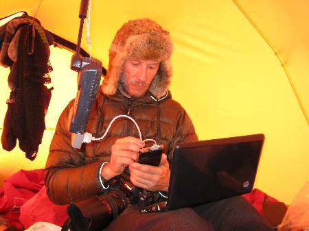
Updating blogs with the HP mini, the iPack and iridium technology

N76°12.310 W51°02415

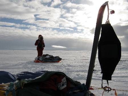
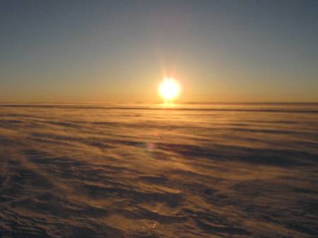
The sun was at the losing end of a power struggle with high and low clouds all morning. By midday, after alternating light snow fall with bright piercing rays, the sun’s parched light bid its final adieu for the day. But not before running one last salutation across the frozen plain, playing catch up with itself, amidst the clouds’ broken shadows. To the casual observer, the ice may look monotonous; a tediously repetitive blanket of white that stretches agonizingly in all direction. In reality, this frozen land reveals itself it its multitude of subtle details, forever changing with the light, and the dynamics of the day, to those committing to travel its foreboding realm.

More

Day 26–Just A Drill

June 8, 2010 5:38am

75°51.873 W48°06.979 Elevation 8617 Feet

It generally takes about an hour and a half to break camp every day, from slipping your socks on to clipping the kite lines onto the harness. Building and breaking camp is like furnishing and stripping a house, twice a day, every day. It requires loading and unloading the sledges with food, cooking items, tent clothes, sleeping systems, not to mention setting and unsetting the tent. It’s a process.

Yesterday, by 8 PM we began the cycle, preparing for a night of light winds, but secure in the fact that we only have seventy kilometers to cover to meet our minimal requirement for the day. The trouble was that by the time we unrolled the kites’ lines, the wind had all but died. It was deadly still. The sky was busy with high and low clouds, and it snowed intermittently, as it had for the last three days. We sat on our sledges, hoping that a passing cloud might activate a wind system and we’d be on our way.

Thirty minutes in and we broke the chess board, pulled the sledges next to one another and used a plastic container for a table. Under snow, we carried out our game for about forty five minutes to the point where we were both shivering. The sun may be hanging high in the sky at nighttime but there is a definite temperature difference between night and day, and the night had a chilling bite! The kid won the game, amidst a cover of snow, and with no wind in sight, we hurried back to the habitual task of home building, with the only upside that this will be on a fresh–and clean–plot of snow.

So goes the nature of this type of travel. We’ll cook an unexpected dinner, grab some sleeping time as it comes, and switch the clock again if the winds blow during the day.
This was just a drill…

More
Day 24–White Void

June 7, 2010 1:48pm


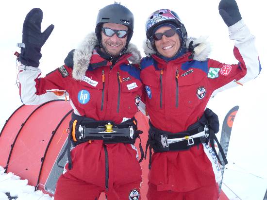
Victorious Team after covering 595 kilometers in 24 hours


Dramatic skies would soon turn to whiteness

75°51.873 W48°06.979 Elevation 8617 Feet

It’s not good to stay in one spot too long–deliberately. And get too comfortable. Being out on the ice, is not supposed to be comfortable; it keeps you focused. Following our 24 hour run, rewarded by a new world record, we gifted ourselves the luxury of a day off. This was partly out of necessity for physical recovery, partly because we covered almost a quarter of the trip in one day (!), but also as a pat on the back. The trouble is, when you take a day off, it’s hard to go back out!

On the following day, yesterday, we were slow out of the tent. The sun was struggling to peak out of thick clouds, and it had been snowing intermittently for the last 36 hours.

More

Day 23–A Twenty four Hour Run

June 6, 2010 11:05pm


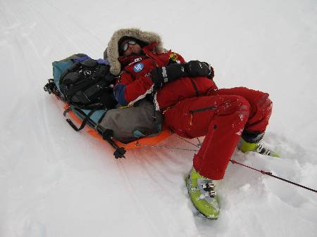
Sebastian cat naps on a short break from a 24 hour run


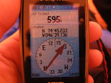
The recorded distance for the day

N74°45.233 W46°39.134 Elevation 8792 feet

Generally speaking, not many people have an understanding of GPS coordinates. For those who do, take a look at today’s, and compare them to yesterday’s… More on this in a bit.

Before leaving on this expedition, privately, I had mentioned that, provided the conditions were right, I might take a shot at the kite skiing world record for greatest distance covered in a 24 hour period. While I had said it half in jest, in my mind, I was determined to give it a go. Under promise, over deliver.

More

Day 21–Speed Demons

June 4, 2010 3:33pm


N69°25.922 W45°30.343 Elevation 6972 feet

There isn’t much room for error when moving at 45 km/h over the ice, pulling heavy sledges behind you, flying amongst the flurries of snow drift that gallop with the wind and cover the ground with a blanket of liquid smoke. Things happen very quickly–you catch an edge, and a wipeout can be spectacular; and dangerous. The adrenaline rush is intense. As is the workout.

More

Day 19–Up In The Air

June 1, 2010 8:00pm


Through the day, planes left their mark in the sky

N67°06.340 W45°24.721 Elevation 7171 feet

Some things changed today. For one, we crossed the Arctic line as we push further North on our journey. We are now officially in the Arctic. But a striking difference came in the way of the sky; more specifically, the air traffic, up above. We are evidently coming upon a latitude commonly used by transatlantic carriers. And today’s beautiful deep blue sky was scarred for much of the day by the multiple crisscrossing of contrails left by jets coming to and from Europe to North America. This, as is traveling through Greenland, was new to me.

More

Day 18–A Place Frozen In Time

May 31, 2010 8:22pm


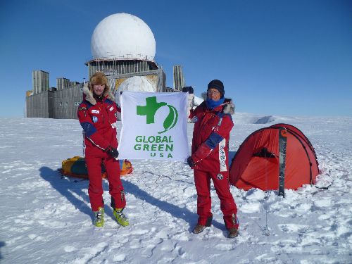
Representing Global Green on the Greenland Ice sheet.

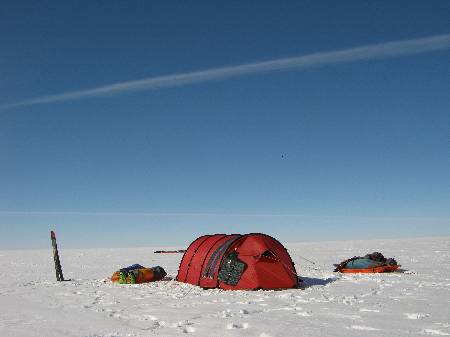
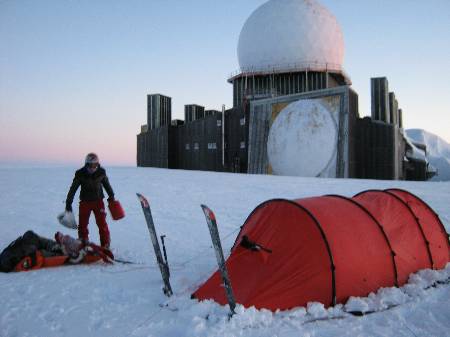
We set up camp next to DYE II, and our tent is dwarfed by the five story building. Such a structure, incongruous in this setting, looks part cathedral, part sci-fi movie set. Its dominant feature: a radar dome that defined its purpose. During the cold war, the US army monitored the air for spook ballistic activity. Such structures were built in line–four across Greenland–and all the way into Canada and Alaska. Assignments there must have been bleak due to the temperatures, and the many months of darkness.

More

Day 17–Dye II

May 31, 2010 7:35am


16 hours and 232 kilometers covered the team reaches DYE II


DYE II camp at first light

N66°29.538 W46°18.662 Elevation 6957 Feet

Looming in the distance, about 30 clicks away, was Dye II. A mere point on the horizon, this abandoned military building has been a reference target for distance in the first phase of our trip. Upon packing the camp this morning, it stood 232 kilometers away, a distance we had optimistically hoped to reach in two days. After just over 16 hours of hard and fast travel, we would reach it in a day!

This was a classic travel day. The kind that goes on and on, yielding perfect conditions that feel will never end.

More

Day 17–Musical Icescapades

May 30, 2010 4:59pm


Enjoying a cup of soup waiting for wind

N64°24.890 W46°20.333

“If we wanted to go fast, we could have taken a plane,” was the reply imparted onto me by my young friend. After sharing those words of wisdom, Eric showed me some tricks to keep the kite in the air in low downwind conditions. Kiting is naturally amped in powered up conditions. In marginal winds, especially heading downwind, while dragging heavy cargo through wet snow, it’s about as much fun as stumping your toe. Not only is it a lot of work just keeping the sail in the air, but the angle of travel forces a constant zigzag at really low speed, and the miles covered are abysmal. “Still better than pulling”, I kept telling myself.

More

Day 16–Sastrugi and Sticky Stuff

May 29, 2010 6:50am


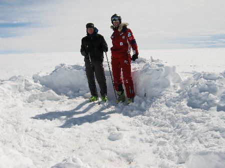
This was the hole left by the tent after six days pinned down


Morning rises at 4:30 AM

N64°18.072 W46°20.307 Elevation 8191 feet

We left at night. And kited for twelve hours with only brief stops every 1.5 hours at first, and 1 hour towards the end of the run. By 1:30PM the following day, we had covered 158 kilometers. The winds started low and increased to a steady speed that kept us on the 10 and 12 meter Ozone Mantas traveling around 20 to 25 kilometers an hour for almost five hours.

More